Trinity River
Overview
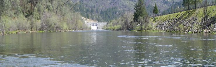
During 2003-2005, the SHIRA framework was applied to a design problem to help rehabilitate the Trinity River right below Lewiston Dam. This is an extremely degraded reach with little potential for long-term, self-sustainable river rehabilitation design. The problem is that the majority fo the river corridor has been taken over by a large hatchery and the river was channelized against the valley wall. These impacts leave little chance to instill natural geomorphic processes. Nevertheless, we were able to use SHIRA to significantly improve the habitat for salmonid spawning and rearing as well as to instill some geomorphic functionality. Funding was only provided to do baseline assessment and design development, so no as-built analysis or long-term monitoring was possible. At our own discretion, we have done some periodic assessment of how things have gone. The project was successful in attracting many more salmon to the high-quality habitat that was produced and in providing high-quality embryo incubation conditions.
Here we present information on all phases of the design development and testing SHIRA-based rehabilitation project carried out on the Trinity River.
Scientific Purpose
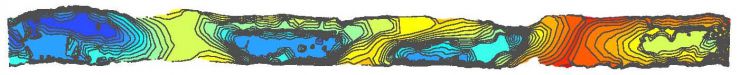
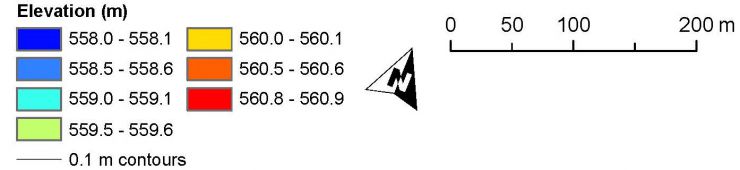
Riffle construction is a common practice in river engineering, but insufficient science exists to guide objective design of riffle-pool relief and the three-dimensional forms of features smaller than the scale of channel width. Riffle-pool amplitude is defined as the difference between the maximum riffle crest elevation and the minimum pool trough on the slope-detrended river profile. Riffle-pool relief is an important yet untested metric for channel design, because it could play an important role in morphologic resilience during floods. There is no widely used dimensionless metric for riffle-pool relief design.
In this study, numerical experimentation with two-dimensional hydrodynamic modeling and ecohydraulic analysis was used to evaluate the performance of six different configurations of a sequence of riffle-pool units typical of shallow, regulated gravel-bed rivers, emphasizing a range of slope-detrended riffle-pool amplitudes.
Trinity River Project Description Web Page
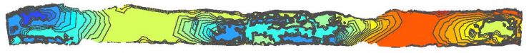
A real sequence of 4 riffle-pool units on the gravel-bed Trinity River immediately below Lewiston Dam, California, USA (40°43'34"N, 122°47'48"W) was used as a reference assemblage (i.e. “pre-project” or “baseline” scenario) to prepare and validate a 2D model suitable for a straight, gravel-bed, riffle-pool stream in a confined valley typical of where dams are located.
Click the image link below to go to the web page that sets up the project:
Trinity River Pre-Project Characterization Web Page
CLICK HERE TO GO TO THE PRE-PROJECT WEB
Trinity River Design Development Concepts and Tools Web Page
CLICK HERE TO GO TO THE DESIGN CONCEPT/TOOLS WEB PAGE
Trinity River Project Design Web Pages
Click the image links below to go to the web page that explain each design's details.
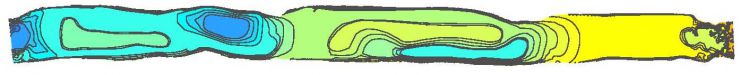
Design 1 Web Page
Design 2 Web Page
Design 3 Web Page

Design 4 Web Page
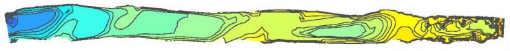
Design 5 Web Page
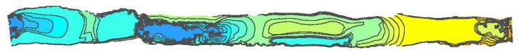
Design 6 Web Page
Trinity River Designs Analyzed and Compared
CLICK HERE TO GO TO THE DESIGN COMPARISON WEB PAGE
Trinity River SHIRA Project Implementation
- Final planning and implementation led by Joe Reiss, TRRP
- TRRP and UCD worked together to adjust design 6 as needed to match on-the-ground realities.
- (adjusted road side-slope and channel width, for example)
- Planned for 9000 tons of gravel addition, but change in costs 2003-2006 resulted in having to break the project into two parts.
- Part 1 involved excavation, vegetation and muck removal, and placement of 2500 tons of gravel in 2006.
- Part 2 involved placement of remaining 6500 tons in 2007.
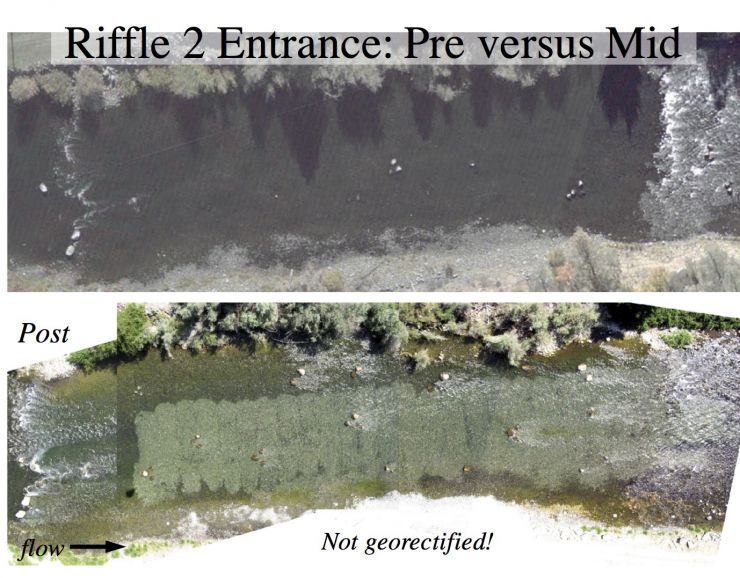
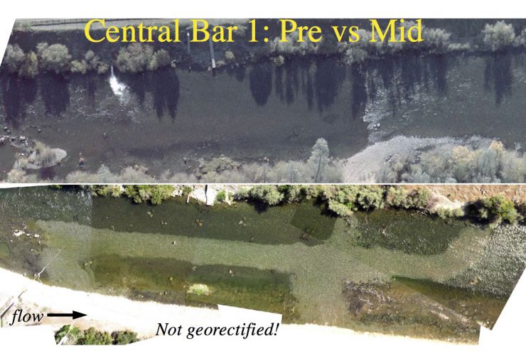
Pre- VS Post Aerial Imagery